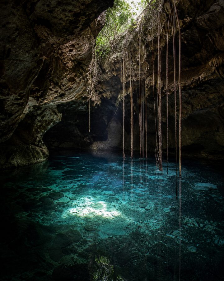
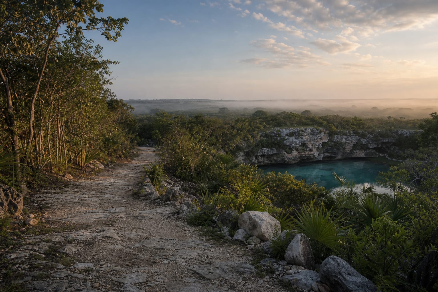
An arc mapped from the sky
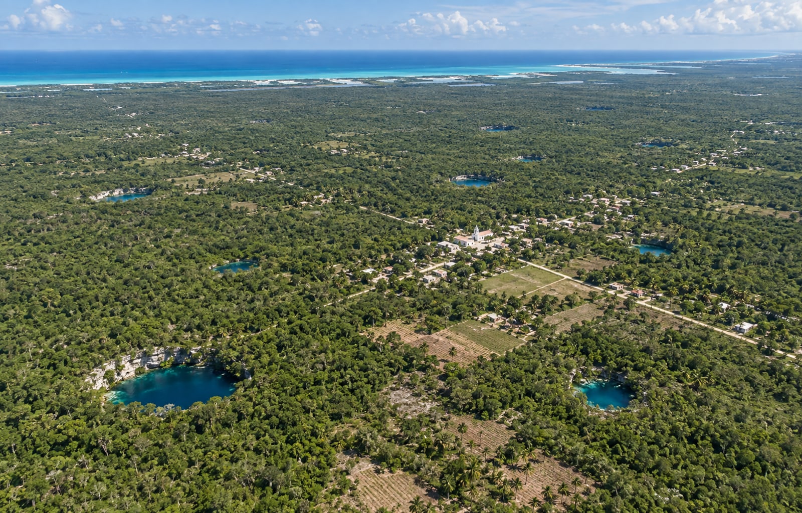
For decades, no one identified the pattern on the ground: vegetation and scale kept it invisible from the surface. The semicircular distribution was recognised by combining satellite imagery with gravity and magnetic surveys, the same kind of data that helped confirm the existence of the Chicxulub crater beneath the Peninsula.
The ring is not a closed circle. It stretches as an arc roughly 180 kilometres in diameter, open toward the north, where the crater's edge lies buried under more recent sediment and the Gulf of Mexico.
A crater you cannot see, but can map
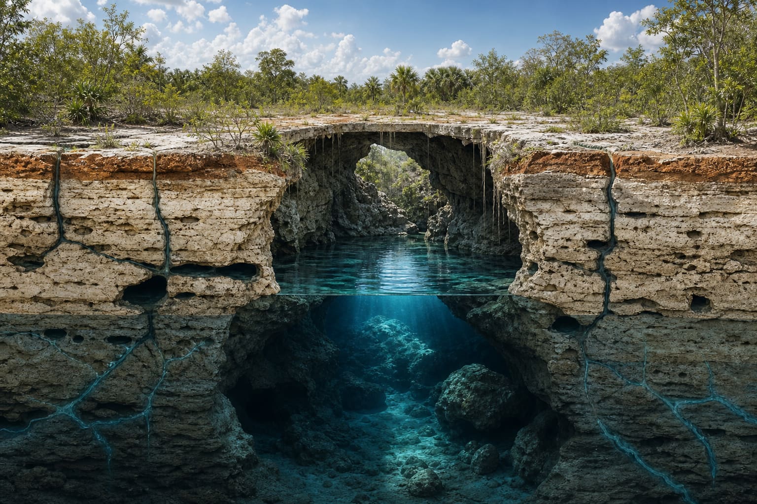
The Chicxulub crater is about 66 million years old and now lies completely buried under hundreds of metres of limestone. There is no visible rim on the surface, no drop in elevation that gives it away.
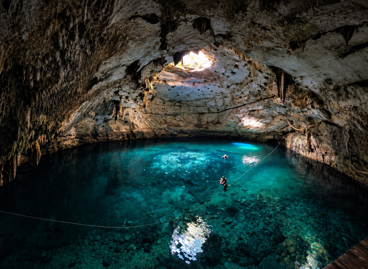
What remains is the fracture. Those deep discontinuities made limestone dissolution easier over thousands of years, which is why cenotes appear more often along that trace than across the rest of northern Yucatán.
Towns that grew alongside the water
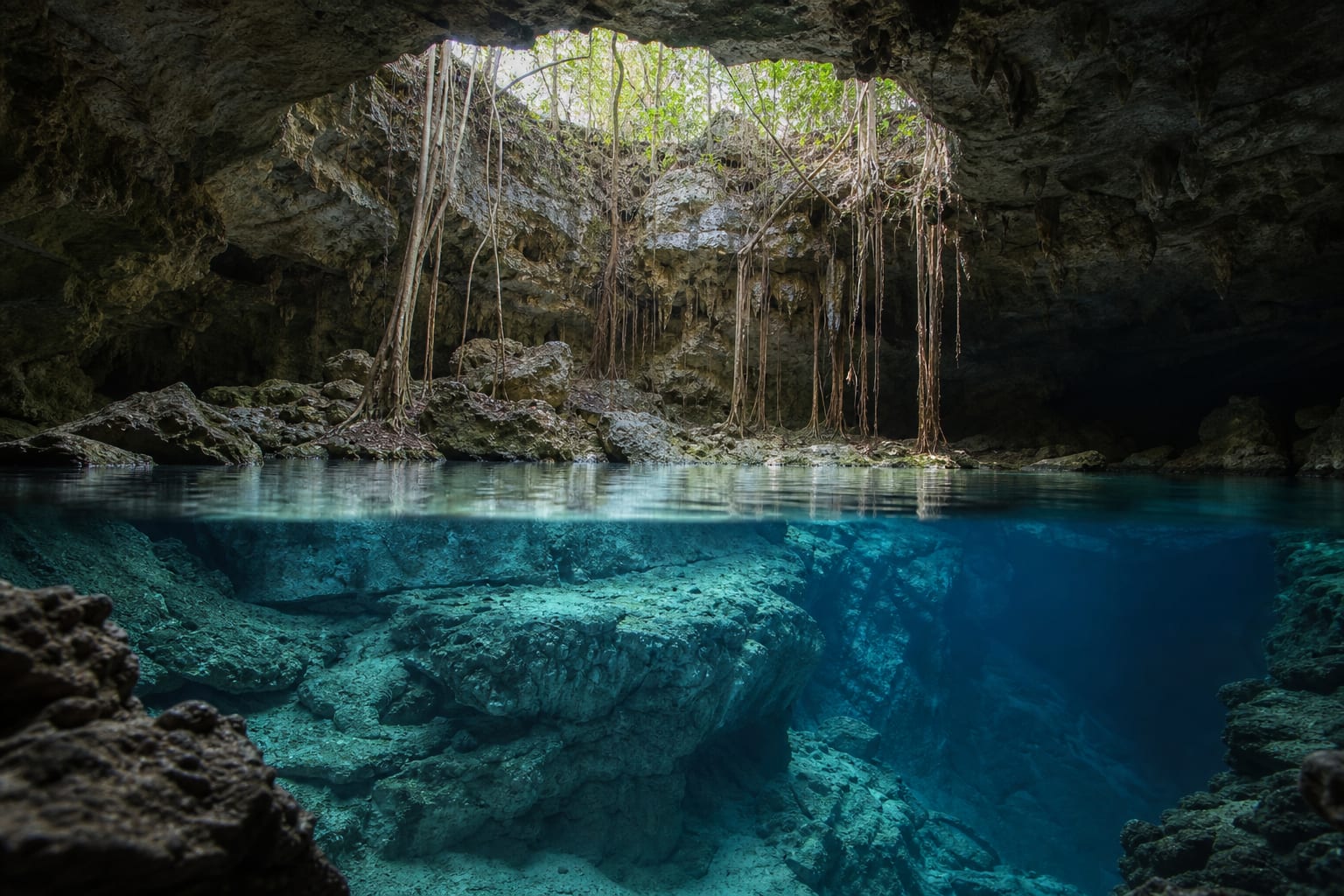
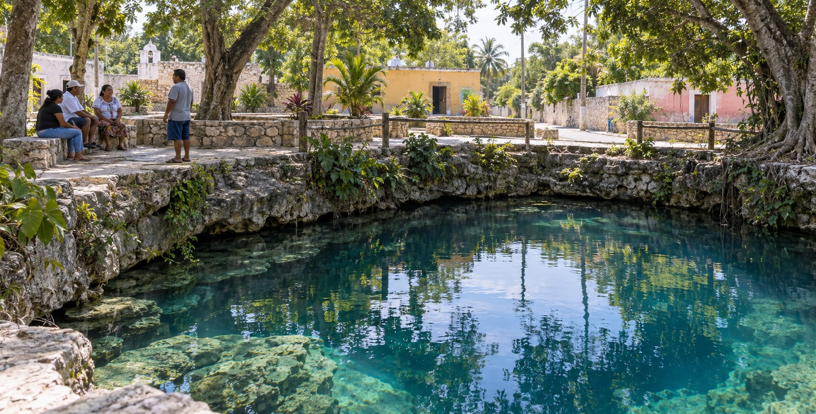
With no permanent rivers on the surface, settlements in northern Yucatán historically organised around cenotes. Municipalities such as Homún, Cuzamá, Tecoh and Valladolid sit on or near the ring, and their relationship with the water has shifted over time, from a direct source of supply to the backbone of local tourism and farming economies.
Land and different ways of approaching the water
In some towns along the ring, cenotes remain part of daily life: washing, watering backyard gardens, community gatherings. In others, they have become the main economic driver through tourism, with local cooperatives managing access and upkeep.
These uses do not always align, and sometimes compete for the same resource. Understanding the ring as land, not only as a geological phenomenon, helps explain why decisions about one cenote rarely affect only one place.
A shared land, not only a map
Caring for the Ring of Cenotes means more than preserving a geological pattern. It means sustaining the balance between communities that depend on the water to live, cooperatives that depend on it for tourism, and an aquifer that does not recognise those boundaries. Decisions about land use, tourism and water at one point on the ring have consequences for the rest.
Sources and further reading
This article summarises geological and territorial information published by international organisations and public agencies.