Compare
Organise location, prices, hours, access, facilities and visitor levels so differences are legible.
Explore cenotes →Cenote Scout organises practical information, retains its sources and distinguishes what was reviewed, what was reported and what still needs confirmation.
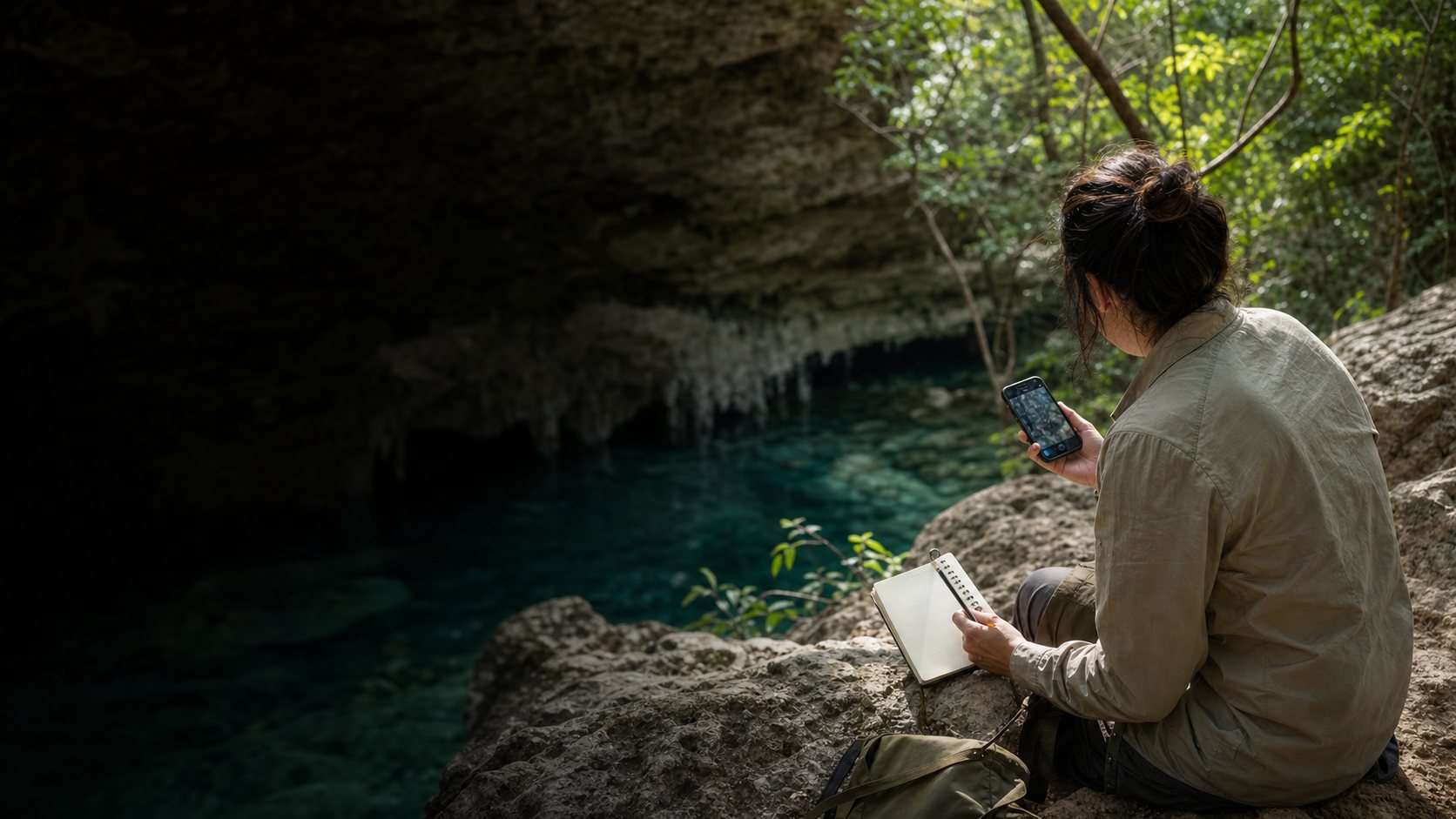
Understand the projectConcept image of field documentation.
Prices, hours, access and locations appear across maps, social media, blogs and local recommendations. They are scattered, they change and they do not always show a date or origin.
Cenote Scout does not hide that uncertainty behind a false promise. It turns it into visible information so people can compare more carefully and know what they need to confirm.
Organise location, prices, hours, access, facilities and visitor levels so differences are legible.
Explore cenotes →Explain geology, Maya culture, conservation and logistics so each place is more than a photograph.
Read the guides →Let visitors, operators and communities report changes and complete information without paying to appear.
Report a change →The process does not end at publication. A listing remains open to new evidence and operating changes.
We catalogue a place when its name, location and existence can be distinguished through a usable source.
We gather prices, hours, access, facilities, rules and contact details while retaining available sources and dates.
Every listing remains pending until the person responsible for the cenote confirms its details.
When an operator responds, we record the confirmation and update the listing.
The status describes the origin and currency of listing data. It does not certify safety, water quality, environmental compliance or operator quality.
The detail is unavailable or lacks sufficient evidence to be presented as current.
Information confirmed directly by the person managing the place, with a recorded date.
Conditions can change after a review. Depth, weather, access, infrastructure and local decisions also affect every visit.
That is why we do not publish claims such as “100% safe”, “always open” or “guaranteed”. When a detail determines your visit, we recommend confirming it directly.
A cenote can appear and update its information without paying. A small community should not become invisible because it lacks a commercial budget.
Report observed changes and share a date, photograph or source whenever possible.
Update operating details and explain the actual rules and conditions at the place.
Define what information and spaces may be shared, and under which conditions.
Provide territorial, environmental, historical and regulatory context beyond a commercial listing.
Cenote Scout organises public iNaturalist observations to show which plants, animals, fungi and other organisms have been documented near cenotes. These records help us understand the surrounding land, but they do not replace a scientific inventory or certify the environmental health of a site.
We define an observation radius or perimeter.
We retrieve public records with their date, identification, authorship and licence.
We distinguish community data from information confirmed by operators and local sources.
We update the record and share its context with visitors, operators and communities.
A useful observation starts with respecting the place. Do not touch, capture, feed or move organisms, and avoid revealing sensitive locations.
The source is iNaturalist, a platform independent of Cenote Scout. We query public Research Grade or Needs ID observations within the stated technical radius. Records marked captive/cultivated are excluded.
We display only CC0 or CC BY photographs with attribution. Identifications can change and sensitive locations may appear approximate. The technical area is not an official environmental, community or administrative boundary.
The cache is updated only when we manually run the synchronisation; no automatic frequency is claimed.
A guide does not create positive impact merely by existing. These indicators should show whether the project is genuinely improving.
How many listings show a date and how many details remain pending.
How many changes we receive, review and resolve.
How many operators and communities contribute to published information.
Whether lesser-known options receive attention without promoting fragile or unprepared places.