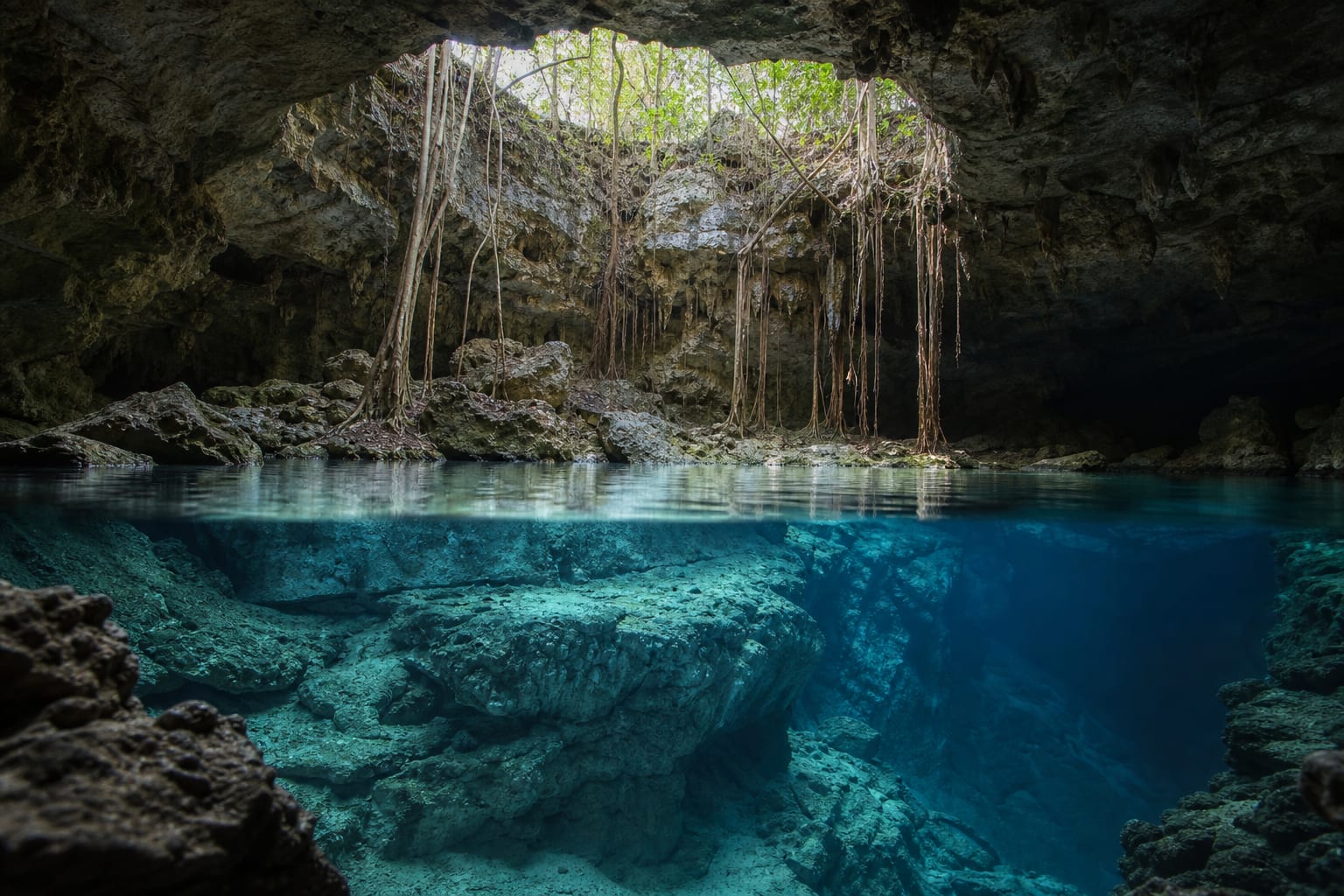
What vanishes beneath the rock does not disappear
In karst terrain, the surface and groundwater are connected by pores, fractures and conduits. Protecting a cenote begins long before reaching its edge.
Understand the vulnerabilityConcept image. It does not represent a specific cenote.
The rock that holds the water also lets pressure reach it
The Peninsula’s limestone is permeable and crossed by fractures. Rain filters down quickly and can carry substances present at the surface.
The official technical study of the Yucatán Peninsula aquifer describes generally extremely high vulnerability because it is an unconfined karst aquifer with high hydraulic conductivity and relatively shallow groundwater. This does not mean every substance travels equally or reaches the same place; it means preventing entry is far safer than trying to correct it later.
- Entry
- Rain connects surface and subsurface
- Movement
- Fractures and conduits accelerate flow
- Response
- Prevent, treat and monitor
Four pressure pathways
Select a pathway to see how it can reach the aquifer, what it produces and where a useful response lies. The image remains fixed because the system is the same.
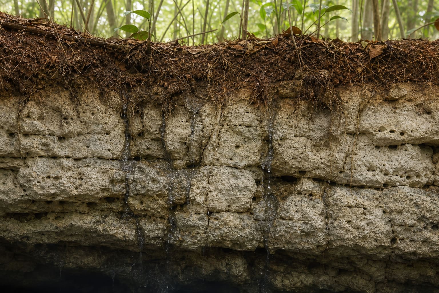
Conceptual reconstruction of infiltration through limestone.
Insufficient sanitation
Wastewater and poorly designed septic systems can release organic matter, microorganisms and dissolved compounds into the ground.
- Route
- Home or facility → shallow soil → fractures → groundwater
- What it can produce
- Microbiological and chemical deterioration that may not be visible to the eye.
- Where to act
- Adequate treatment, maintenance, sanitation infrastructure and regular monitoring.
Agricultural production
Nutrients, organic waste and agricultural products become a pressure where management fails to prevent spills, leachate or infiltration.
- Route
- Productive land → rain and leaching → recharge area → aquifer
- What it can produce
- Higher nutrient and organic loads, with the potential presence of other contaminants.
- Where to act
- Treatment, impermeable surfaces, discharge control, responsible siting and oversight.
Growth and infrastructure
Urbanisation changes recharge, removes vegetation and concentrates waste. Absorption wells, drilling and spills can create direct routes.
- Route
- City or infrastructure → drainage and drilling → permeable rock → underground flow
- What it can produce
- More entry points and greater difficulty tracing where an impact began.
- Where to act
- Land-use planning, recharge-zone protection, sanitation and hydrogeological assessment.
Unmanaged tourism
Visiting is not the largest regional pressure, but at one site it can add waste, products in the water, erosion, noise and overloaded facilities.
- Route
- Intensive use → direct contact and insufficient services → cenote and immediate surroundings
- What it can produce
- Local impact on water, formations, wildlife, access and community experience.
- Where to act
- Capacity limits, clear rules, sound toilet and waste systems, local guides and informed choices.
One less bottle helps. Sanitation changes the problem.
Personal actions matter, but they do not replace infrastructure, regulation or community management. Conservation requires every scale to do what only it can do.
- 01
Visitor
Confirms rules, avoids products in the water, leaves no waste and chooses operators who explain how the site is managed.
- 02
Operator
Maintains toilets and waste systems, controls capacity, trains staff and communicates limits as more than a formality.
- 03
Community
Defines uses, distributes benefits, protects local knowledge and decides which spaces may receive visitors and under what conditions.
- 04
Institutions
Plan land use, regulate discharges, fund sanitation, monitor quality and enforce standards.
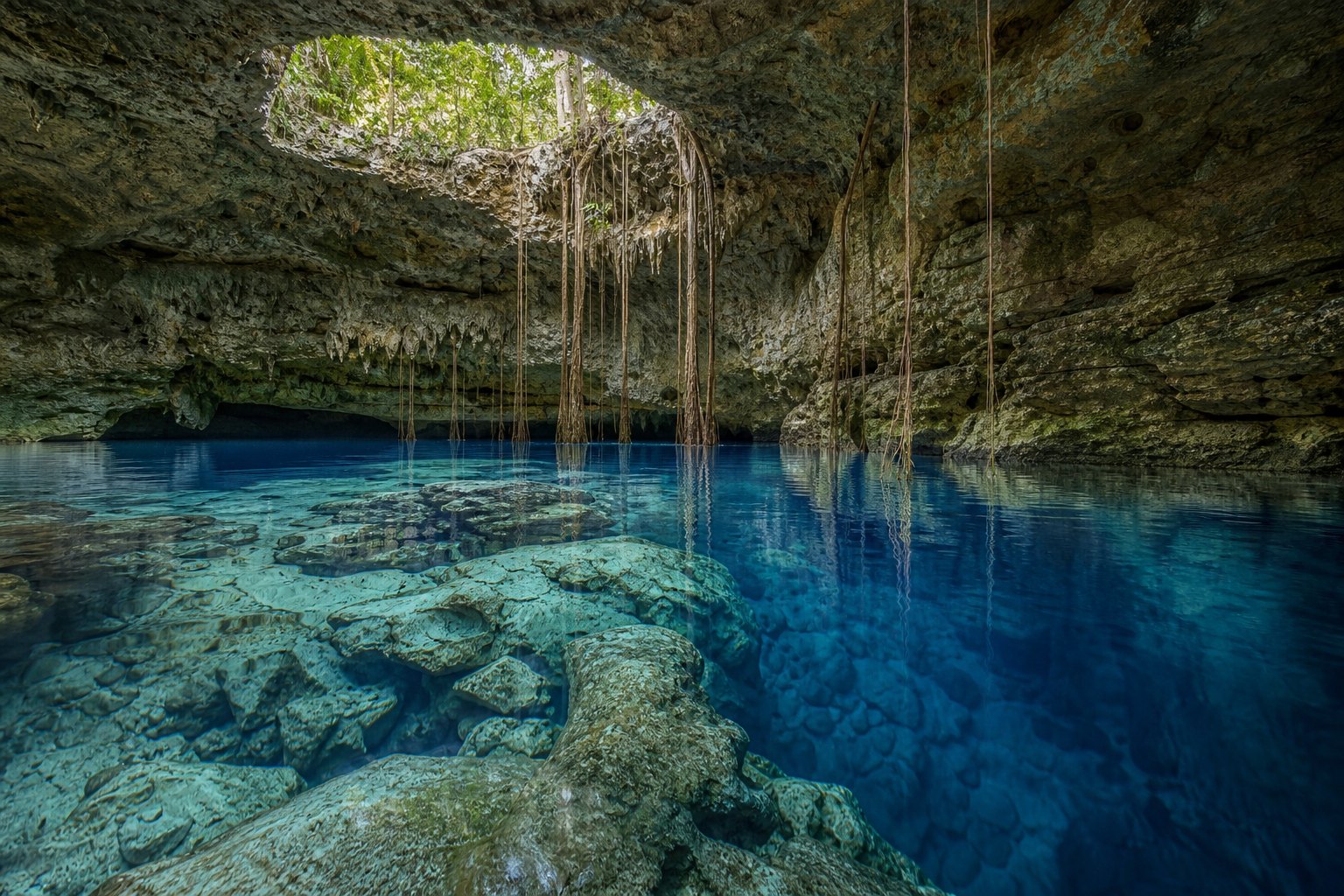
Tourism can support care, but not by itself
When a community controls operations, sets limits and receives a fair share of the benefit, visits can fund maintenance, stewardship and local employment. But opening a cenote does not guarantee conservation: without sanitation, capacity limits, safety and clear agreements, tourism also adds pressure.
The useful question is not “tourism or no tourism?” but “who decides, who benefits and which limits protect the water and the place?”
Collective management and Maya water knowledge belong in this conversation. UNESCO has highlighted the importance of recognising community practices and institutions to better understand and manage Yucatán’s groundwater.
Inform without pretending we can certify
Show available sources, dates and verification status; compare reported rules and facilities; explain why a practice matters; make corrections easier.
Certify water quality, environmental compliance, structural safety or operator performance without competent technical assessment and current data.
Sources for further reading
We prioritise official documents, research and organisations working directly on groundwater.
- 01CONAGUA / Official GazetteTechnical study of the Yucatán Peninsula aquifer↗
- 02CONABIOBiodiversity in Yucatán: water and pressure factors↗
- 03UNESCOCommunity management and Maya water knowledge↗
- 04U.S. Geological SurveyChemical vulnerability and groundwater management↗
- 05IMTAPig-farming wastewater and treatment in Yucatán↗