Cuzamá
Become a Scout and explore the cenotes of the Yucatán Peninsula with verified information.
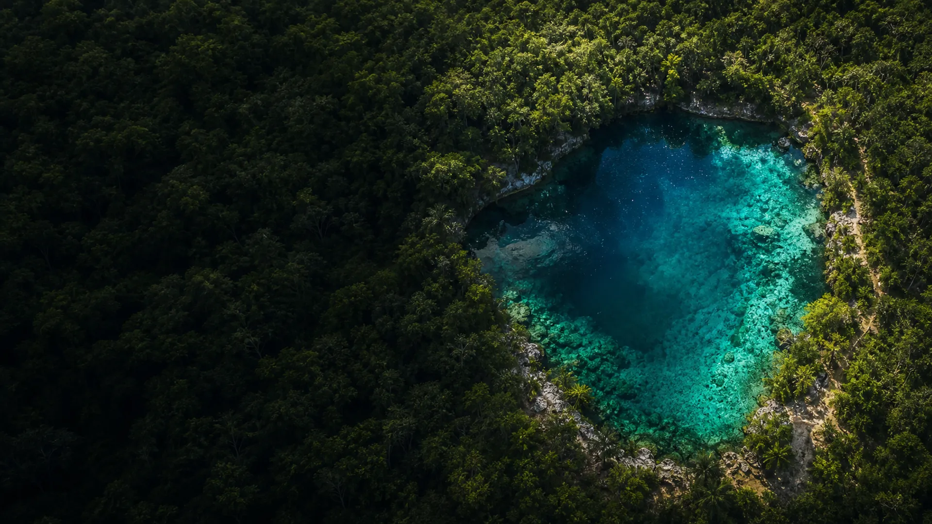
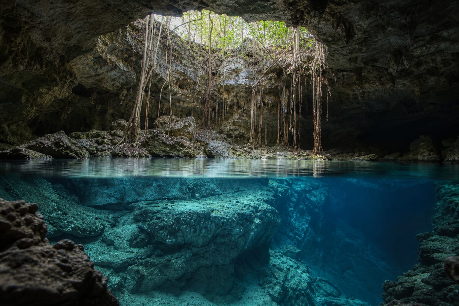
Concept image. It does not represent a specific cenote.
Each cenote has different conditions. Review the available information and confirm what is still pending.
Drag to exploreCuzamá
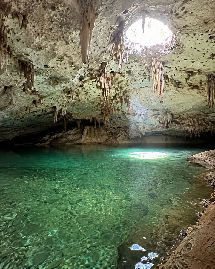
Homún
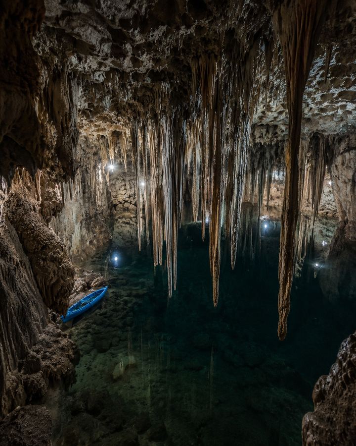
Sanahcat
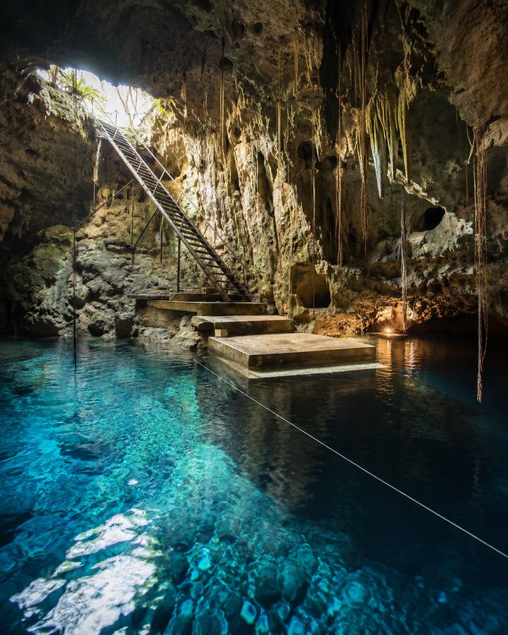
Cuzamá
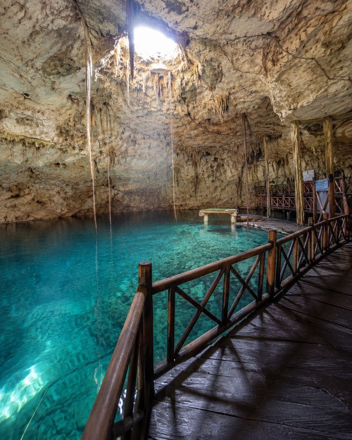
Homún
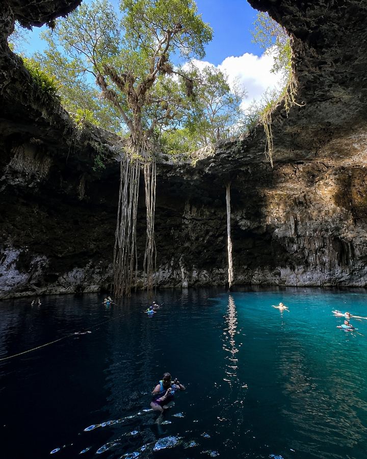
Homún
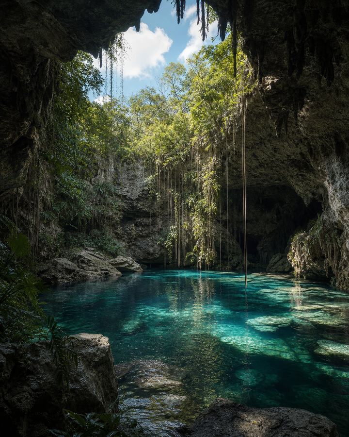
Homún
Cuzamá
Umán
Homún
Homún
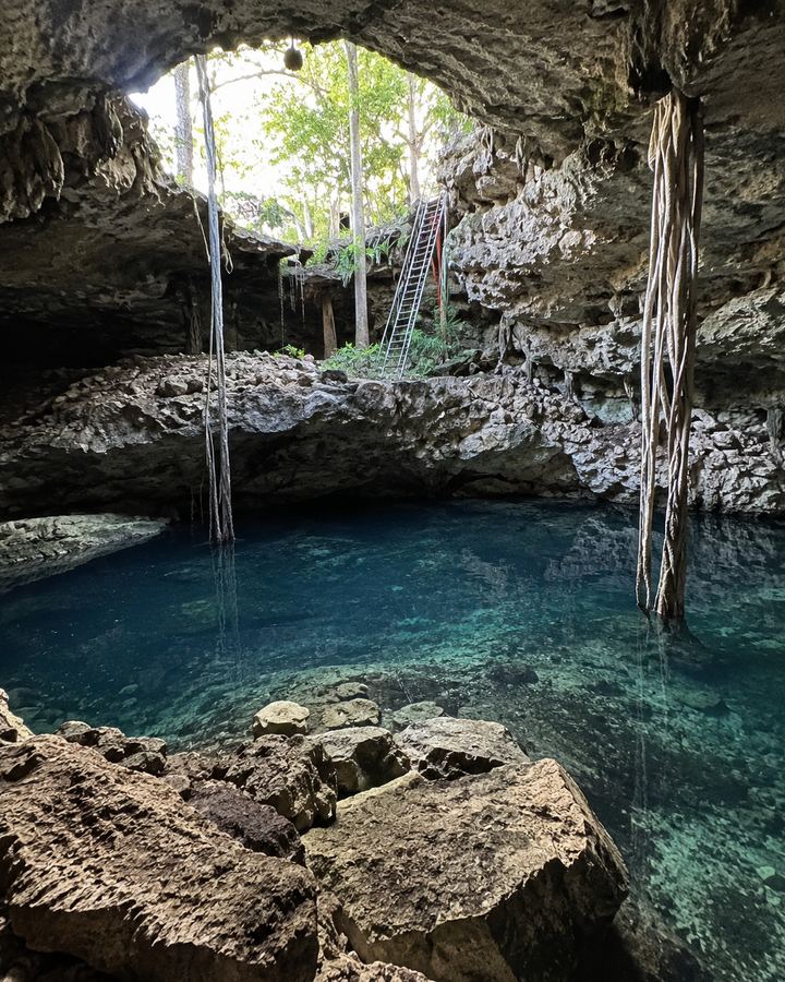
Homún
Valladolid
Homún
Dzitás
Homún
Homún
Mérida
Kopomá
Kantunil
Valladolid
Cuzamá
Yucatán
Yucatán
Hocabá
Umán
Tecoh
Temozón
Hunucmá
Dzilam de Bravo
Homún
Homún
Homún
Temozón
Tinúm
Homún
Mérida
San Felipe
Abalá
Quintana Roo
Tizimín
Yaxcabá
Tecoh
Tecoh
Celestún
Kopomá
Valladolid
Cuzamá
Chapab
Homún
Homún
Chemax
Progreso
Cuzamá
Sacalum
Temozón
Chemax
Motul
Abalá
Valladolid
Homún
Chocholá
Homún
Sacalum
Peto
Homún
Cuzamá
Valladolid
Tecoh
Homún
Tinúm
Yaxcabá
Tecoh
Homún
Tecoh
Tekit
Homún
Dzitás
Chemax
Umán
Valladolid
Cuzamá
Yaxcabá
Valladolid
Temozón
Mérida
Cenotillo
Tinúm
Abalá
Chapab
Homún
Yaxcabá
Valladolid
Valladolid
Compare every cenote and find the one that best fits your visit.
Information to discover and protect cenotes. Cenote Scout turns scattered data into an accessible tool for visitors, communities and the people who manage these places.
Clear, traceable information available in two languages.
Better knowledge to encourage responsible visits and care for the aquifer.
Greater visibility for local communities and projects.
In our pilot areas we bring together public iNaturalist observations to show which organisms have been documented near cenotes, while respecting licences and sensitive locations.
Records also reflect observation effort and do not by themselves measure the health of a cenote.
Explore the environmental pilot →Conceptual image of biodiversity around cenotes.
We are building a more practical way to save cenotes and check their information during your visit.
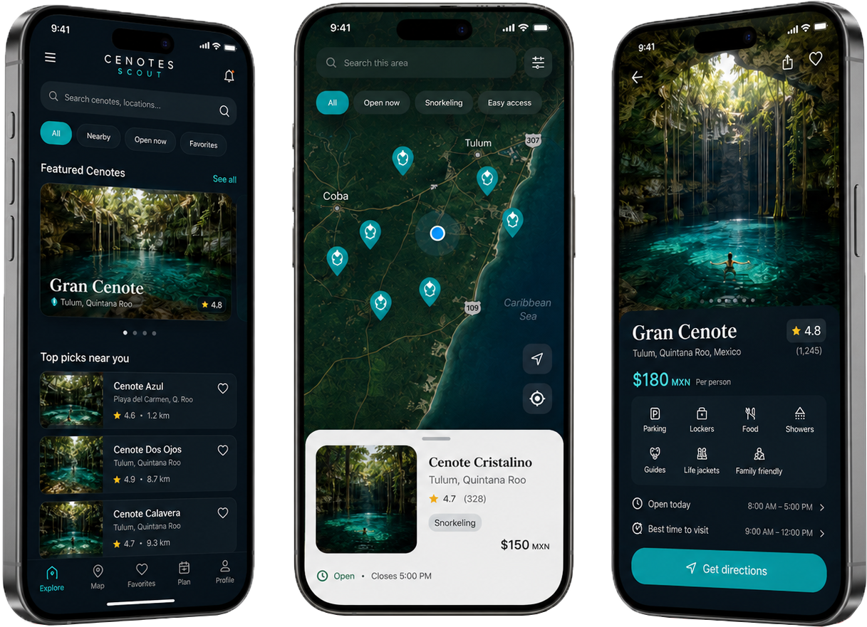
Learn how cenotes form, the place they hold in Maya culture and why visiting them also means caring for the aquifer.
Help us keep the guide useful for visitors, communities and the people who manage cenotes.