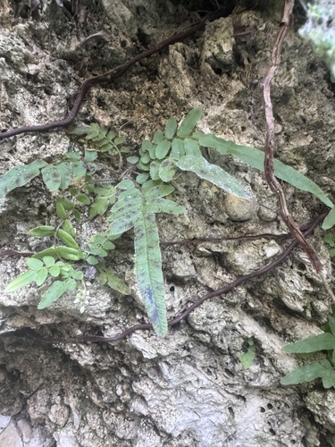
 Research Grade
Ladder brake
Pteris vittata
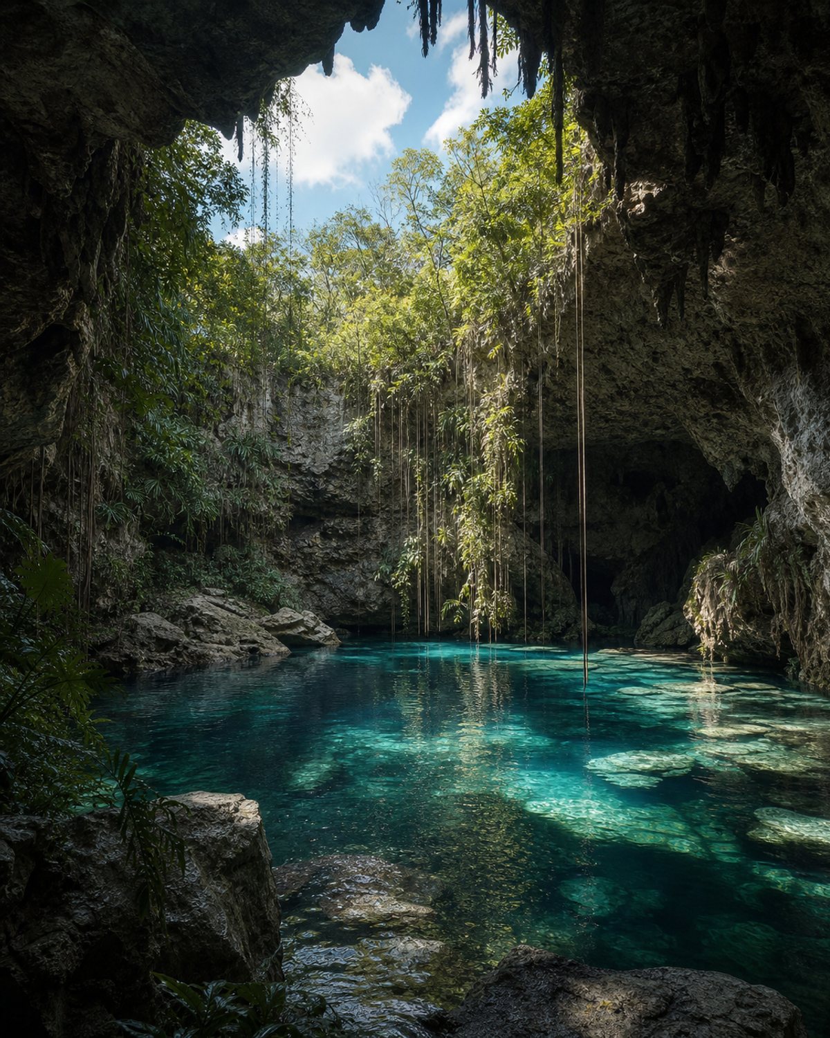
Also known as Parque Ecoturístico Santa Rosa
A tourism complex with one underground cave cenote and another open cenote, plus video mapping on selected dates, a restaurant, cabins, handicrafts and a hammock area.
Maximum of one hour per cenote. Do not use insect repellent or sunscreen. Video mapping is subject to schedule and capacity.
Public iNaturalist observations within a 1 km radius.
The number of records also reflects observation effort. These data do not by themselves represent a complete inventory, water quality or the ecological health of the cenote.
How we interpret these data →Research GradePteris vittata
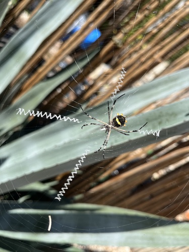 Research Grade
Argiope argentata
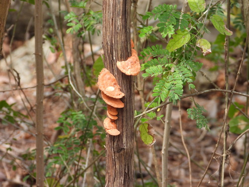 Research Grade
Trametes sanguinea
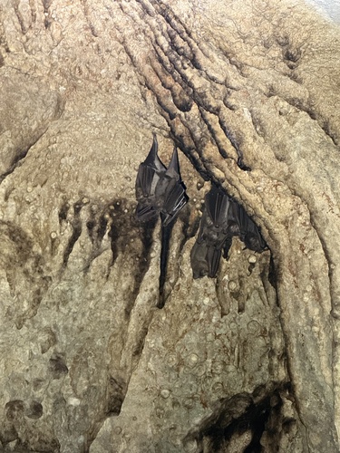 Needs ID
Artibeus jamaicensis
Community data obtained from iNaturalist. Identifications may change with new community contributions. Sensitive locations are shown approximately.
Last updated: August 3, 2026
Cenotes Santa Rosa is in the municipality of Homún. Use the map to understand the area and open directions to navigate.
Maximum of one hour per cenote. Do not use insect repellent or sunscreen. Video mapping is subject to schedule and capacity.
Prepare your visit →Send the correct information and, when possible, a photograph or link that helps us review it.
Report a change →A cenote is part of the Yucatán aquifer. Wear a life jacket where required, avoid polluting products and follow local guidance.
Read the responsible visit guide →