 Research Grade
Tropical Mockingbird
Mimus gilvus

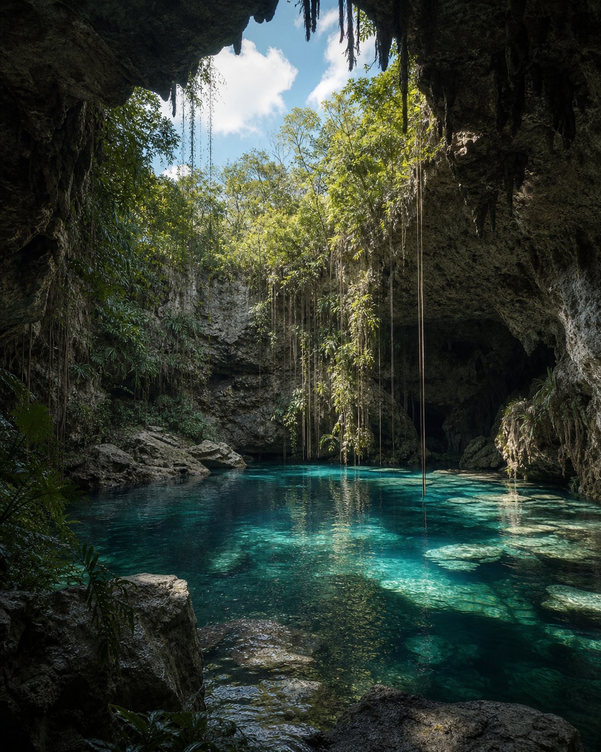
A cenote near Libre Unión associated with the archaeological settlement of Xtojil. It retains elements of ritual interest and is not promoted as a swimming attraction.
The meaning of its name has yet to be confirmed.
Also known as Xtojil de Libre Unión / sitio arqueológico Xtojil
This is not a swimming site. Access, guides, conservation requirements and safety must be confirmed locally.
We do not yet have confirmed information about the facilities available at this place.
X'Tojil is in the municipality of Yaxcabá. Use the map to understand the area and open directions to navigate.
Public iNaturalist observations within a 1 km radius.
The number of records also reflects observation effort. These data do not by themselves represent a complete inventory, water quality or the ecological health of the cenote.
How we interpret these data →Research GradeMimus gilvus
 Research Grade
Anthurium schlechtendalii
 Needs ID
 Needs ID
Mimosoideae
Community data obtained from iNaturalist. Identifications may change with new community contributions. Sensitive locations are shown approximately.
Last updated: August 3, 2026
This is not a swimming site. Access, guides, conservation requirements and safety must be confirmed locally.
Prepare your visit →Send the correct information and, when possible, a photograph or link that helps us review it.
Report a change →