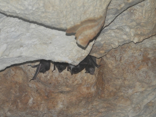
 Research Grade
Common Vampire Bat
Desmodus rotundus
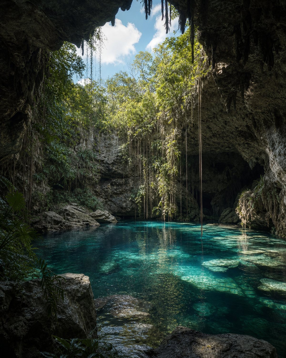
Also known as Tza-Itzá / Tza Itza
An enclosed cenote inside a cave, with side access, a pool measuring approximately 7.8 by 10.5 m, a maximum depth of 40 m and a submerged cavern.
Deep site with limited infrastructure; confirm access and safety conditions before swimming or diving.
Public iNaturalist observations within a 1 km radius.
The number of records also reflects observation effort. These data do not by themselves represent a complete inventory, water quality or the ecological health of the cenote.
How we interpret these data →Research GradeDesmodus rotundus
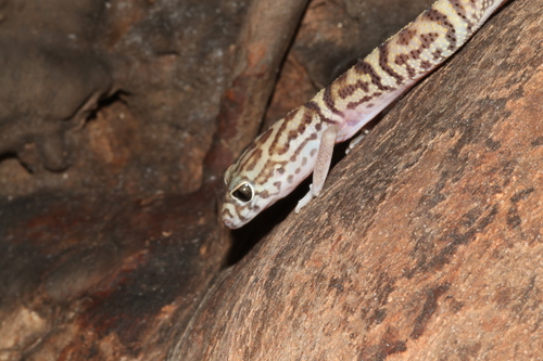 Research Grade
Coleonyx elegans
 Needs ID
Caridea
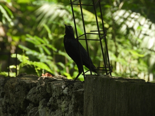 Research Grade
Quiscalus mexicanus
Community data obtained from iNaturalist. Identifications may change with new community contributions. Sensitive locations are shown approximately.
Last updated: August 3, 2026
Tza Itzá is in the municipality of Tecoh. Use the map to understand the area and open directions to navigate.
Deep site with limited infrastructure; confirm access and safety conditions before swimming or diving.
Prepare your visit →Send the correct information and, when possible, a photograph or link that helps us review it.
Report a change →A cenote is part of the Yucatán aquifer. Wear a life jacket where required, avoid polluting products and follow local guidance.
Read the responsible visit guide →