 Research Grade
American Kestrel
Falco sparverius


Known as “the mousetrap with nine entrances.” A cavern cenote covered by a large vault that allows sunlight to filter in softly. Its blue pool measures about 30 m long by 20 m wide, with a maximum depth of 20 m. Inside are caves and poplar roots that reach the water’s surface. Suitable for swimming and diving.
Its Maya name translates as “the mouse burrow with nine entrances.”
Also known as Bolochohool
Cash only. The horse-drawn rail cart is the only access from Cuzamá.
Bolonchoojol is in the municipality of Cuzamá. Use the map to understand the area and open directions to navigate.
Public iNaturalist observations within a 1 km radius.
The number of records also reflects observation effort. These data do not by themselves represent a complete inventory, water quality or the ecological health of the cenote.
How we interpret these data →Research GradeFalco sparverius
 Research Grade
Rhamdia guatemalensis
 Research Grade
No common name available in English
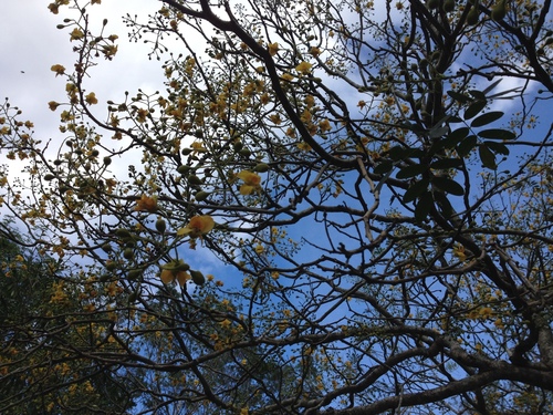 Research Grade
No common name available in English
Community data obtained from iNaturalist. Identifications may change with new community contributions. Sensitive locations are shown approximately.
Last updated: August 3, 2026
Cash only. The horse-drawn rail cart is the only access from Cuzamá.
Prepare your visit →Send the correct information and, when possible, a photograph or link that helps us review it.
Report a change →